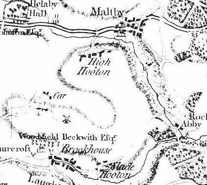
Rotherham Districts
Carr
In 1822 Carr was in the parish of Maltby and in 1868, Carr, was described as a hamlet in the township and parish of Laughton en le Morthen, upper-division of Strafforth and Tickhill, liberty of Tickhill; situated 2 miles from Laughton en le Morthen, 5 miles from Tickhill, and 6½ miles from Rotherham
Further information about the history of Carr can be found on the Thurcroft Estates and Timeline pages.
Farming in 1849: William Mottram, George Nelson, George Sayles, J. Wheatcroft, Richard Wheen, John Wingfield
Farming in 1869: Thomas Law, Charles Mottram, Robert Mottram, William Sayles.
Tradesmen in 1881: John Foster at Newhall Grange, Thomas Law, Farmer. John Mellish, Farmer. Robert Mottram, Farmer. William Sayles, Farmer and Beer Retailer.
 The windmill was located adjacent to the cross roads of the Carr to Slade Hooton (Carr Lane) road and the Brookhouse (Bib Lane) to Green Lane roads.
I understand that the field in which the windmill stood was tenanted in the 1950's by a Mr. Sidney George Garrett of Manor Farm, Carr, from the then landlord the National Coal Board. I am told the windmill was a listed building but was demolished around 1976. In 'Aspects of Rotherham 3', Melvyn Jones comments: The mill was said to have measured 25 feet in height with walls 2 feet thick. A photograph taken at the time of demolition when it stood ruinous, shows the mill walls had a pronounced taper similar similar to a surviving early C19 Tower windmill at Stutton, Yorkshire, the resemblance was so uncanny they could have been identical twins.

1881 Census Carr
